All maps were created by me in QGIS and/or ArcGIS. In some maps, I also use Gimp and Inkscape. I try to do as much as I can using open source software.
If I used any derivative work, I give appropriate credit beneath the map. These maps are provided under a non commercial no derivatives Creative Commons 4.0 license (details below). I’ve always appreciated those who’ve made their works freely available, and I strive to do the same.

Lord of the Rings inspired map of Ohio. I used a texture image called Old Leather. It was produced by SKCphotography. It is licensed under Creative Commons 2.0. The font is called Aniron. Please note that the Aniron font is copyrighted and only distributed for private use.
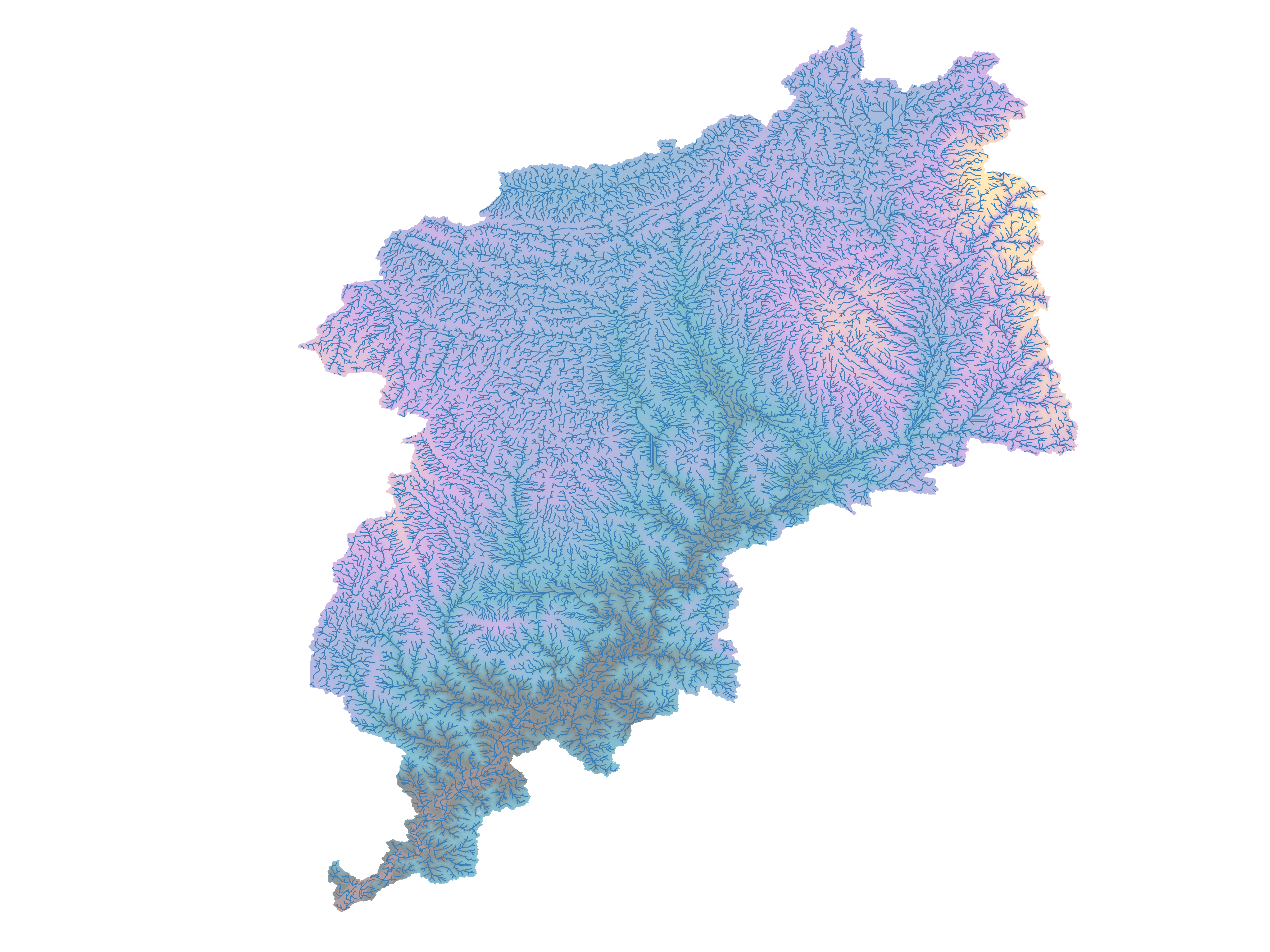
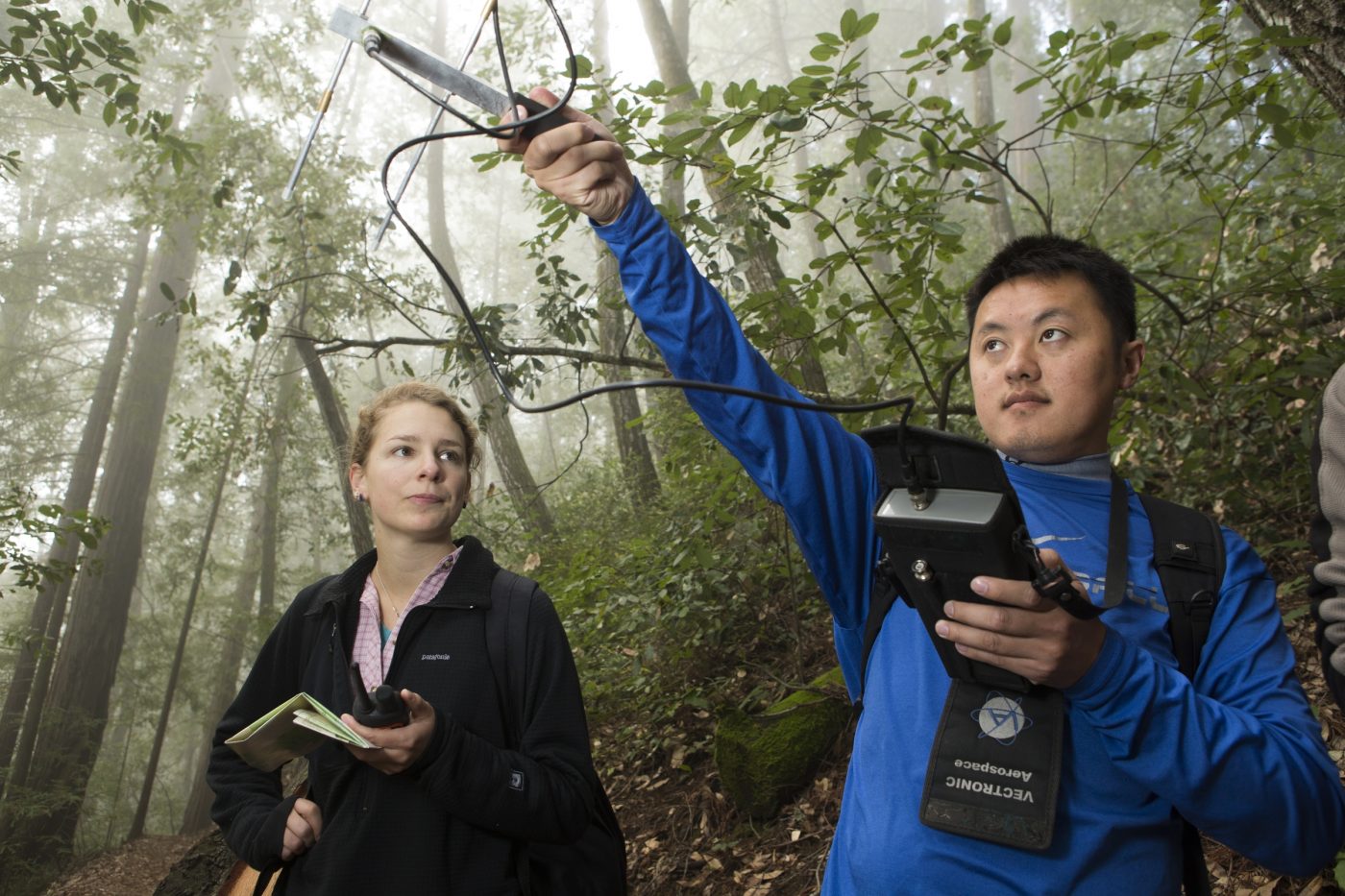
Great Miami River Watershed. Much of the technical work was done in ArcMap 10.6 using the hydrology tools. The DEMs were obtained from USGS Earth Explorer. The color palette used in the filled in basin was taken from an ESRI blog post called Steal this Imhof-Like Topography Style Please by John Nelson. If you’re interested in cartography, you need to read his blog posts. I finished the coloration of the map in QGIS. I created this map for my graduate research in beaver dams.
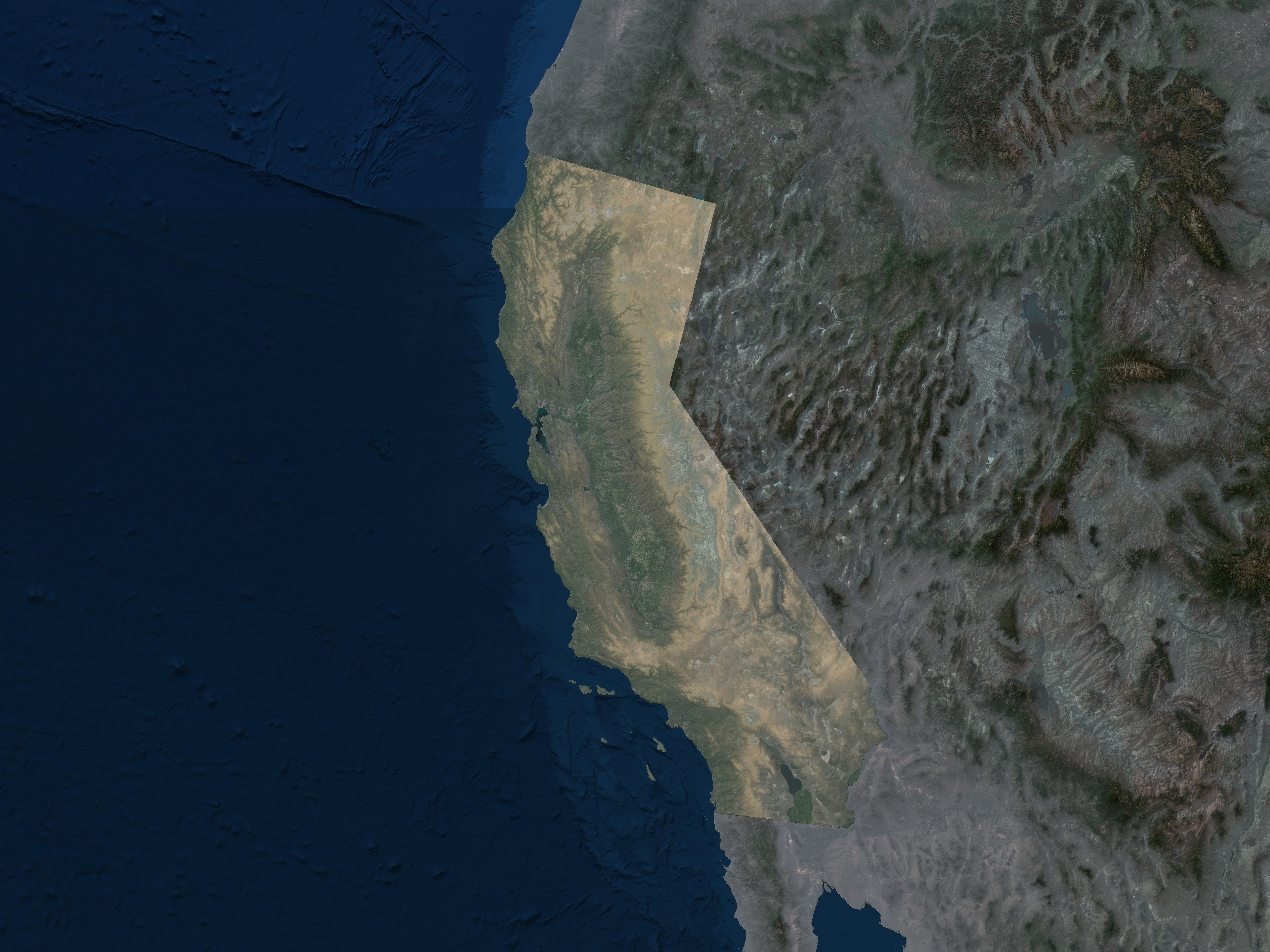
For this map of California, I wanted to play around with creating a mist layer. I started with ESRI’s Clarity Maps (in beta as of Feb 2019), then I masked off California using a vector SHP. I created a mist layer by using a DEM sourced from USGS Earth Explorer. I also masked off the DEM for California and played around with some palettes until I got this coloration. I probably could’ve done some more work on it, e.g. mask off lakes and adjust coloring, but I ran out of time.

All work is licensed under a Creative Commons Attribution-NonCommercial-NoDerivatives 4.0 International License.
